I’m overhauling the site to accommodate pictures from locations beyond Saba I’ve taken, folks, hence the extraordinary amount of time between blogposts. But with the ramp up of daily life in the city, it’s slugging along a lot slower than I’d like. Ah well. Hang in there. More good stuff to come.
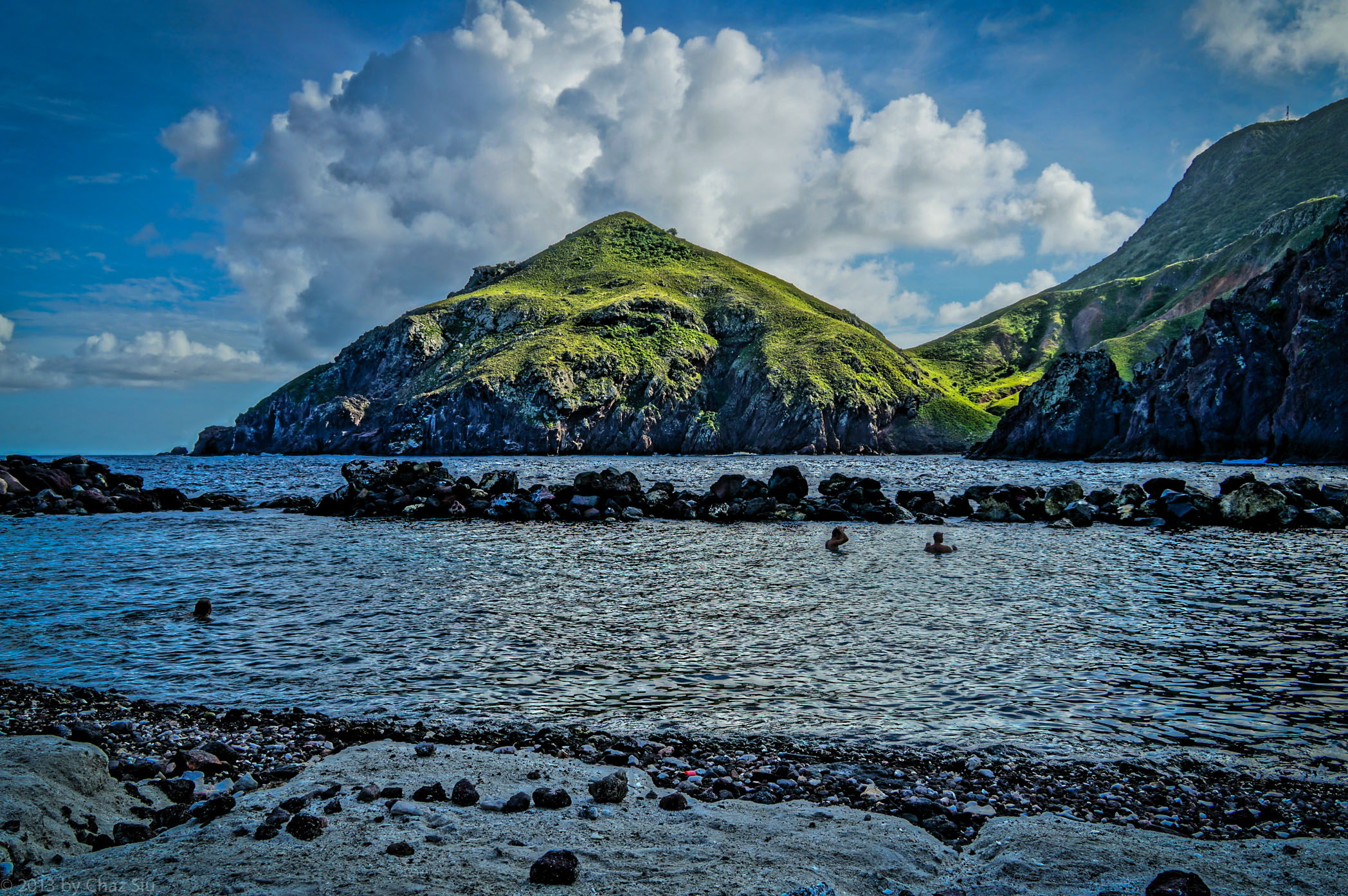
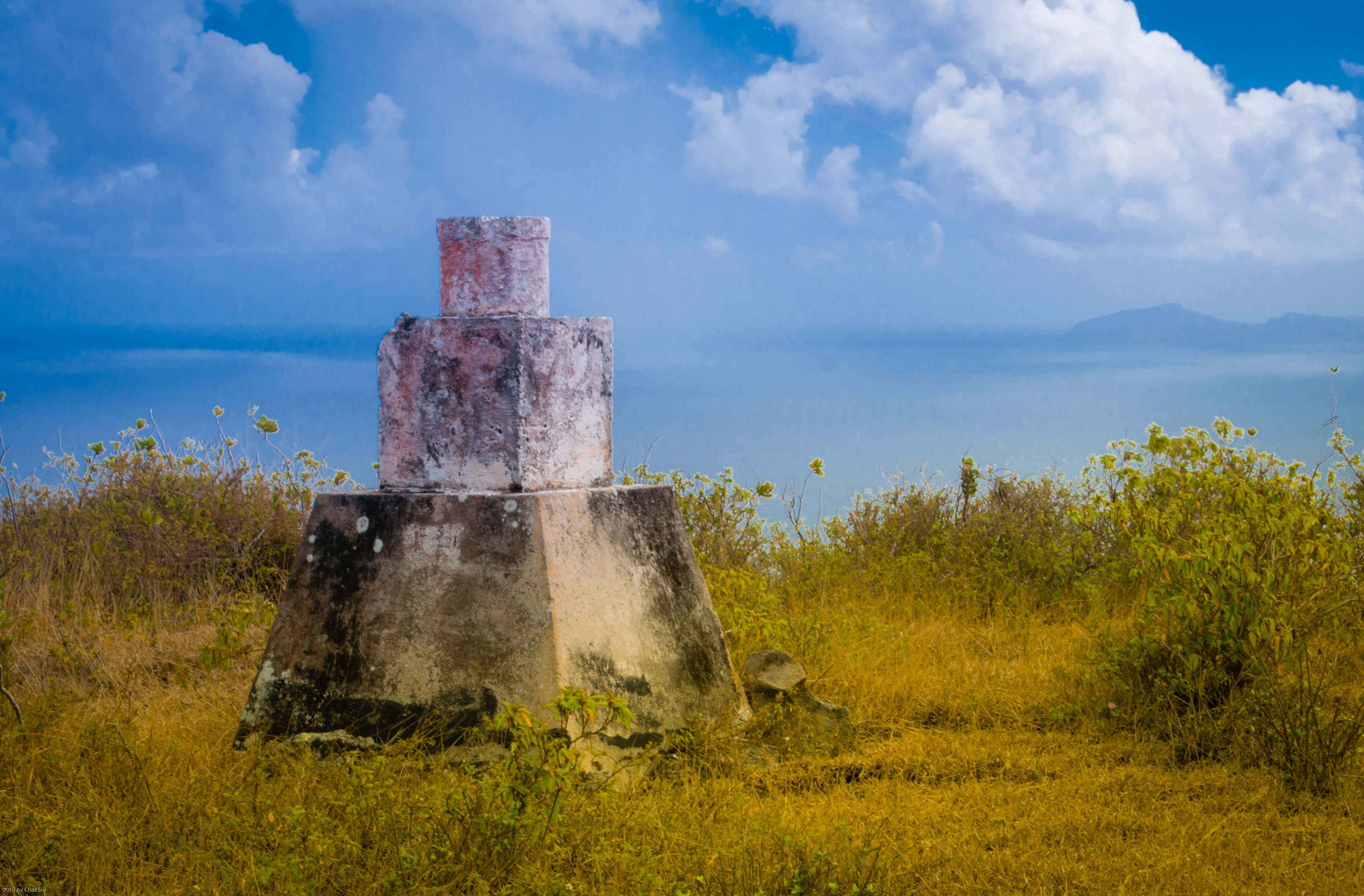
Any Saban worth their salt does a ramble up Thais Hill, looming over The Bottom, St John’s, and the twisting Road to Fort Bay. But I’ve still no idea hwat exactly this marker is. There’s a couple of them starting at the base from St John’s. Any ideas?